We started Monday like Sunday, early, grabbed breakfast at the hotel, and then headed out to our most distant items, and then drove back. We slept a little better on Sunday night as we are both aligning to the time zone, and Sunday was a lot of hiking (for us); we were worn out.
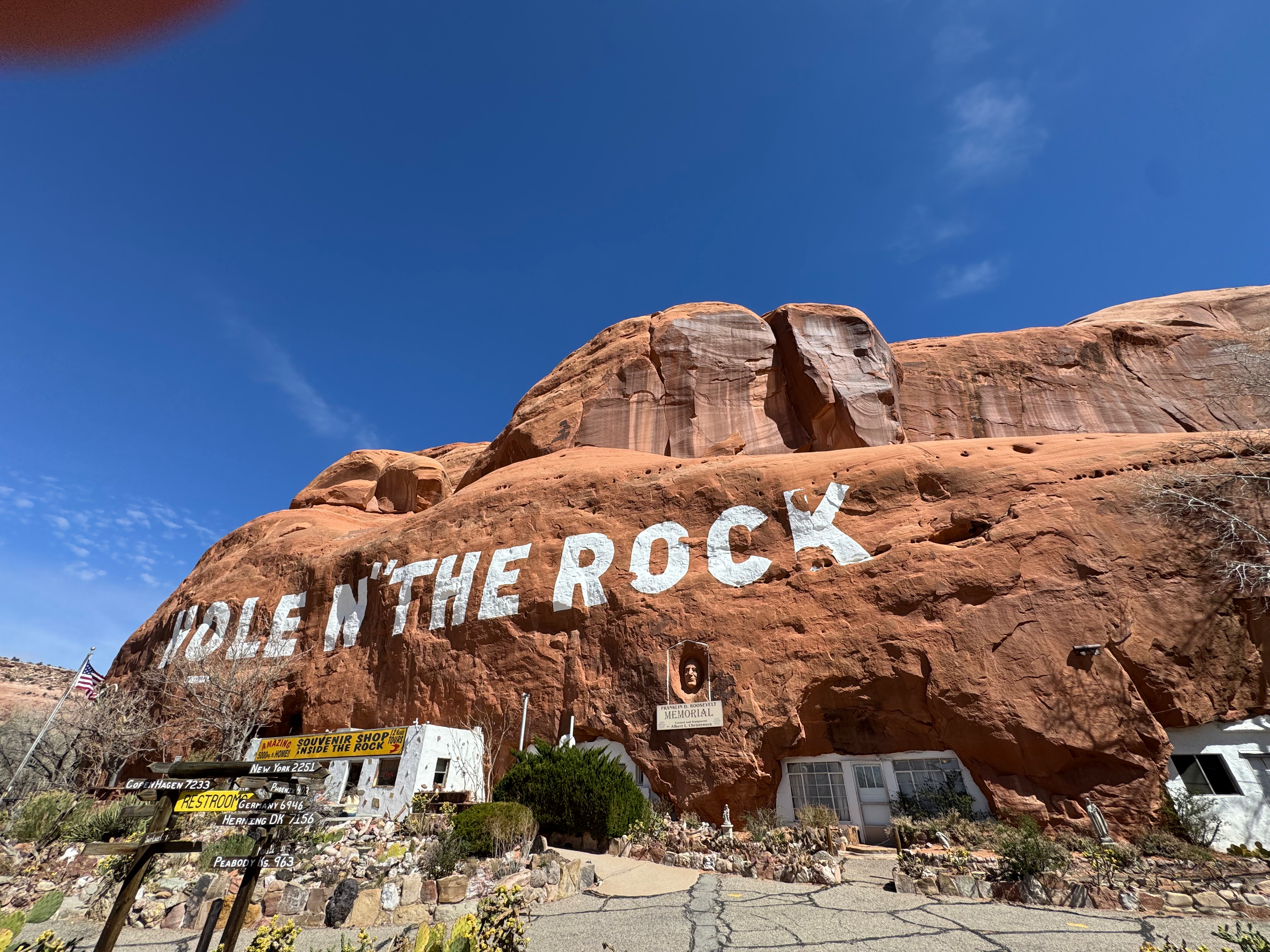
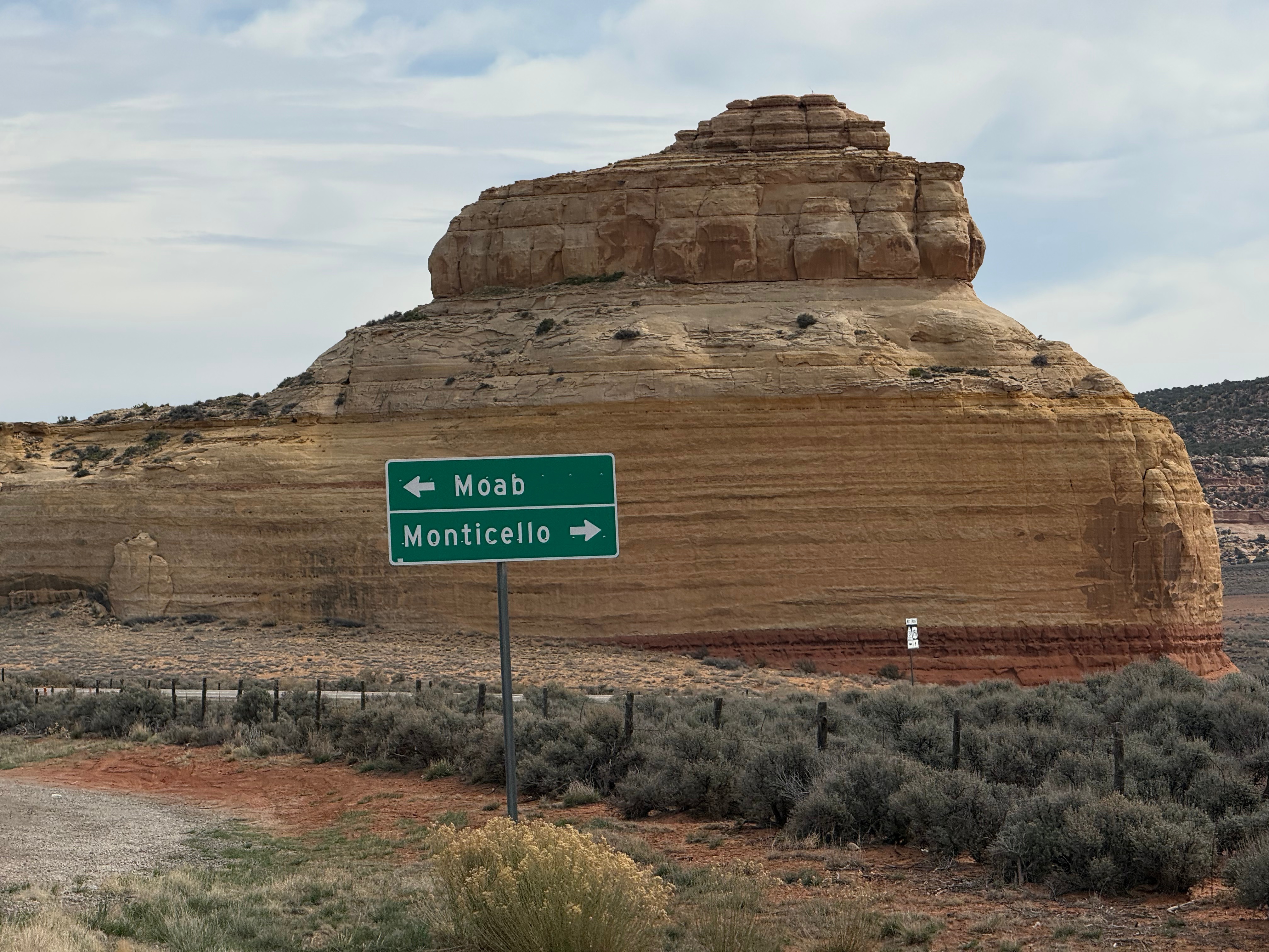
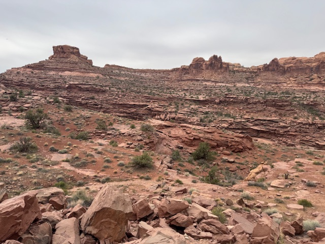
With breakfast, complimentary from IHG, and though industrial, and now inside us, we drove south through Moab Downtown until Main Street returned to SR 191. Again, the geology kept us surprised and amazed. The layers of stone changed as we headed closer to Canyonlands and the southern border of Utah. There were no other towns (and one rest area). We drove by the tourist trap, Hole In The Rock, that my neighbor recommended (he was here a month ago), and we would take the tour on the way back.
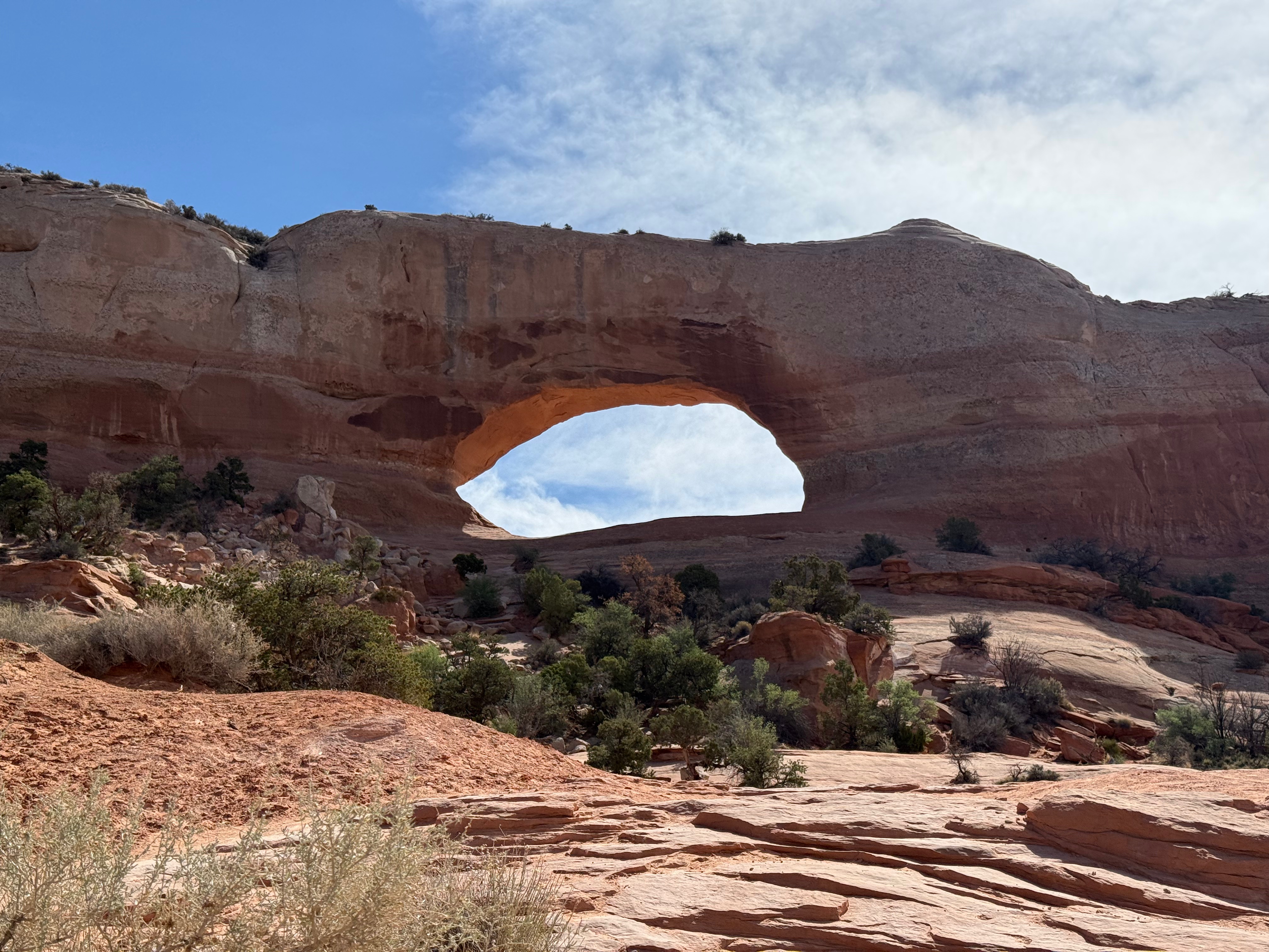
We also stopped (both ways) at Wilson Arch, just off the highway. There is a little trail, but we decided not to risk it as it involved some rock climbing. We are not ready for that.
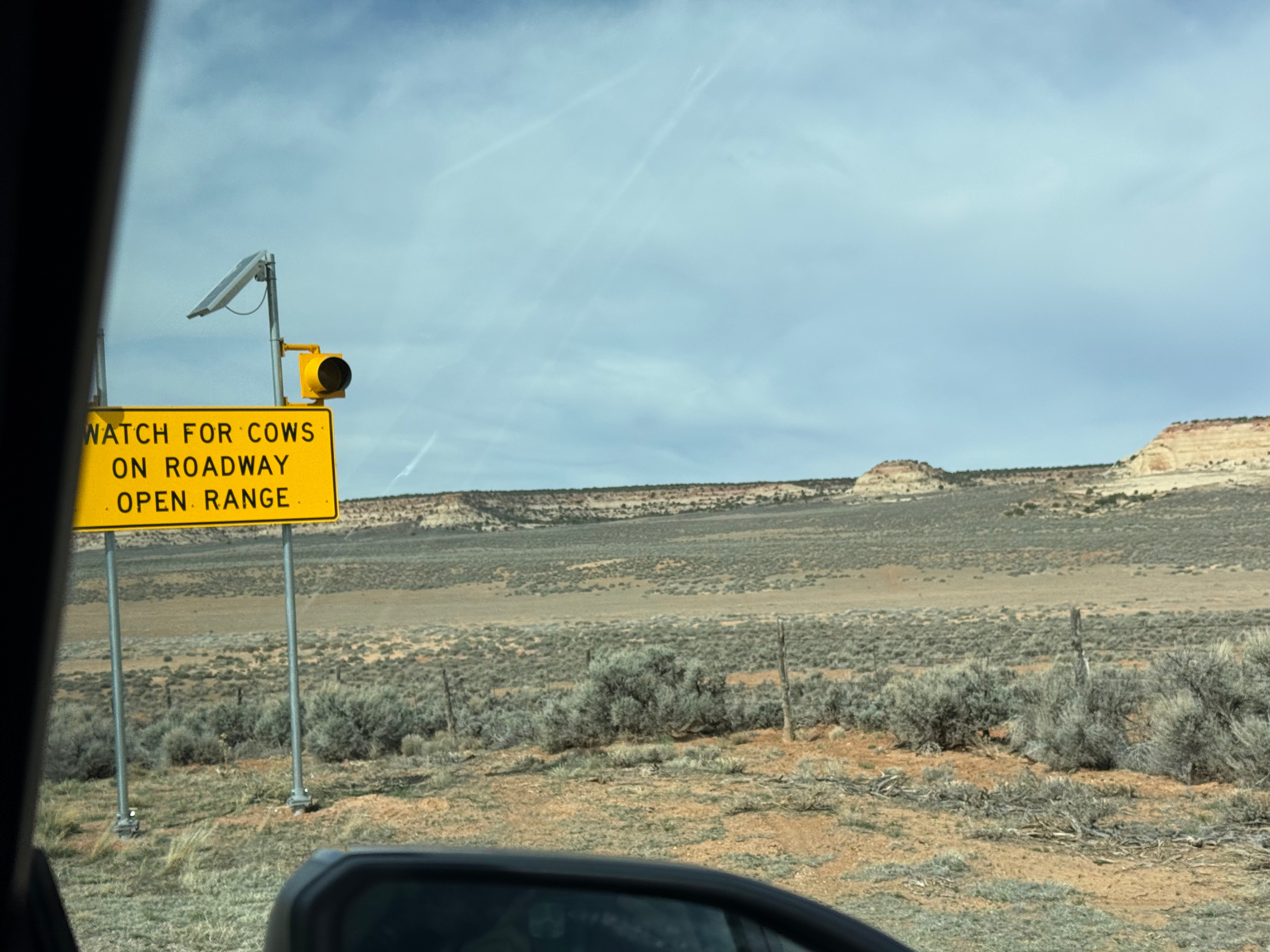
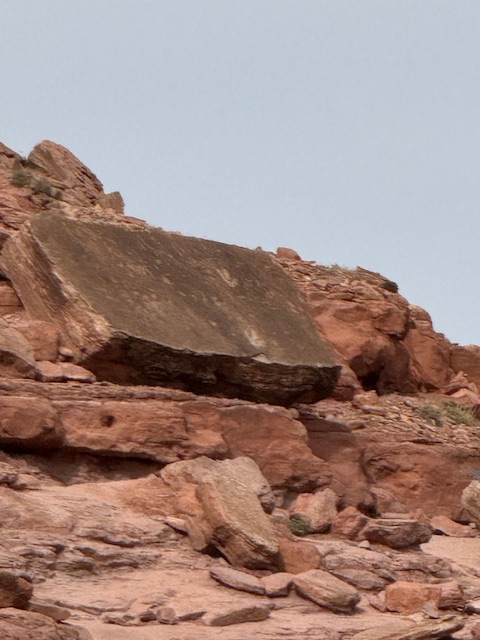
We drove to Newspaper Rock and found ourselves on cattle land, with warnings that the cows were open-range. No fences.
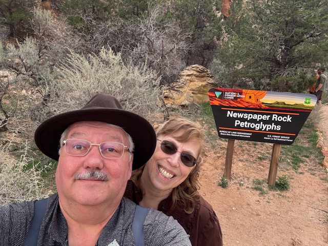
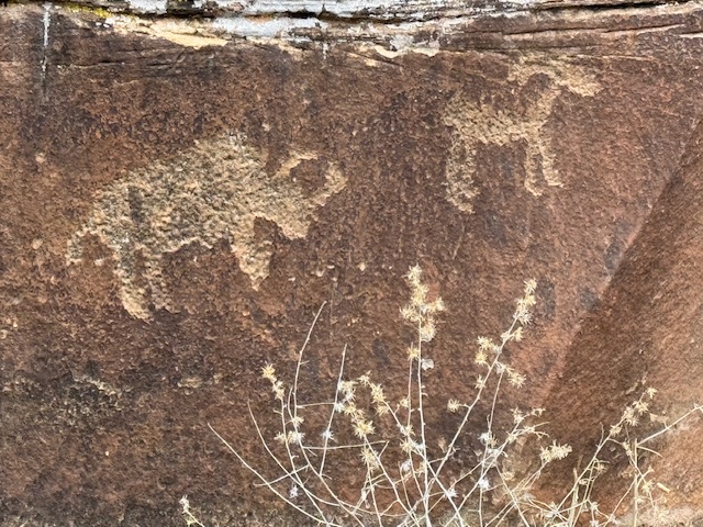
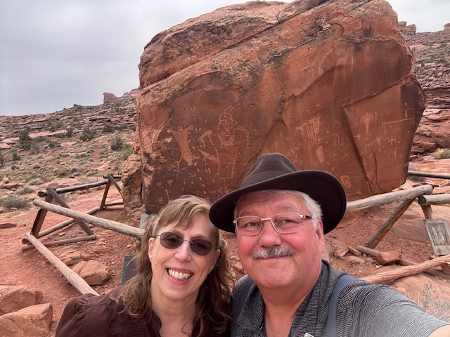
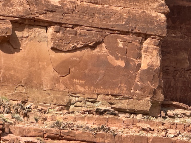
We finally reached Newspaper Rock after one more set of switchbacks with limited signs and no railing. The petroglyphs were what we came to see, but a river with cottonwoods added to the feeling that the place was holy. The silence, only now broken by visitors and traffic, was deep. We would see the same pattern for all the petroglyphs we would visit today.
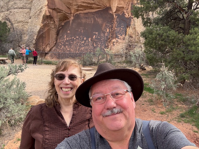
You can see buffalo and riders shooting arrows at elk. There were a few odd figures that I believe I have seen described as “ancient astronauts” in various esoteric books (e.g., Chariots of the Gods and similar books). We spent some time just enjoying the area. It brought you peace and a connection to the people who made these drawings. The native people acquired horses from the Spanish in the 1500s, and thus, we know some of the drawings are from after that, as they show horses being ridden (just above our heads in the previous picture).
 (You can see the different colors as we reconnect with SR 191.)
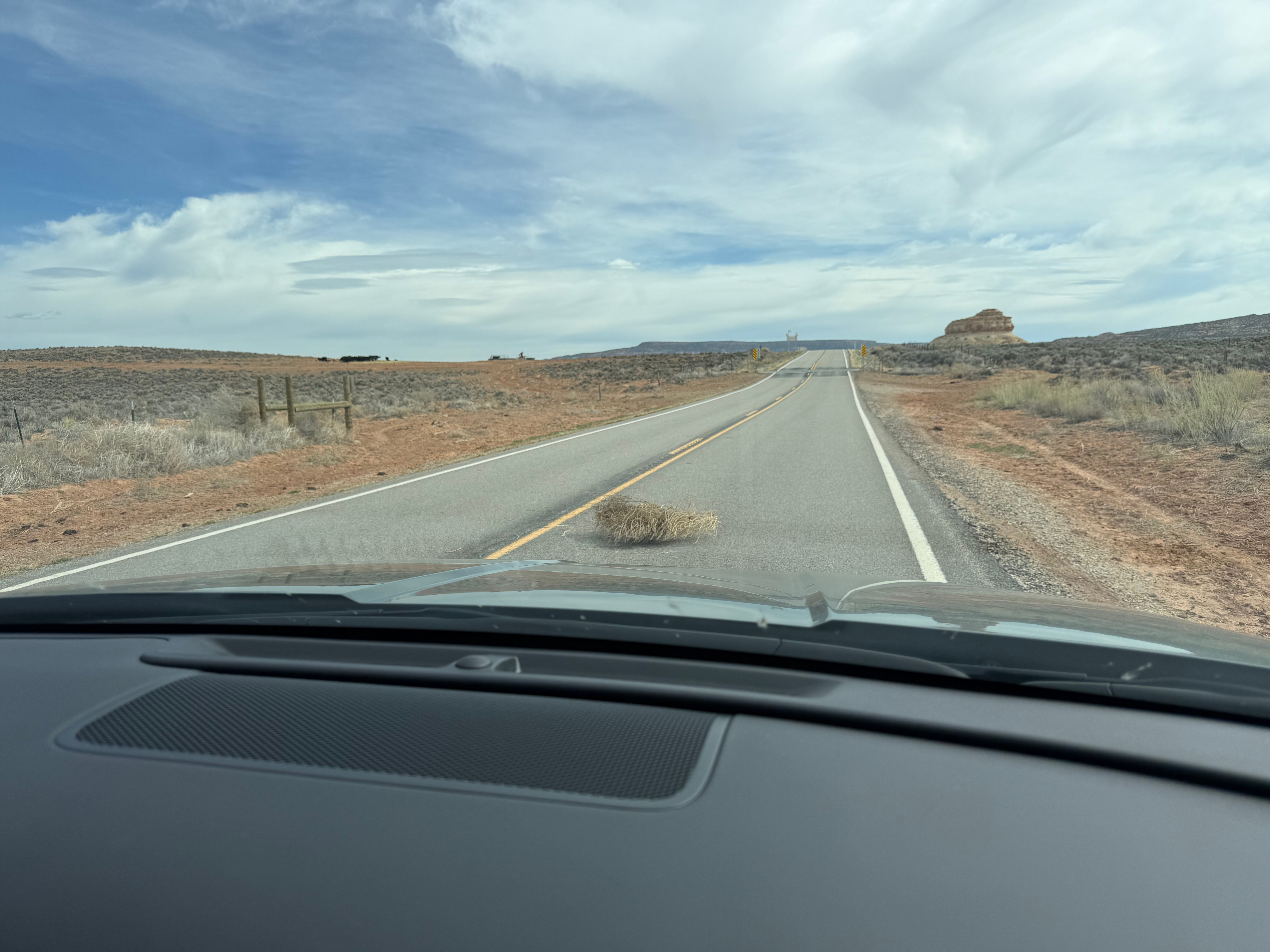
We enjoyed the trip back, relooking at all the geology, cows, and land; the sharp curve now put the cliffs attached to the other lane. It felt easier and safer. We had to avoid a tumbleweed in the road on the way back.
(That is the same rock structure in the previous picture — it is huge.)
We stopped at The Hole in the Rock to use the restrooms and to take the tour. The owner had blasted the rock with dynamite and then used a mule (stuffed by the owner and still there after passing away) to haul out the rubble. It was a lovely house and originally a food joint. There was a bell, and when it was sounded, everyone collected their plates and went outside. There was then a blast, and when the dust cleared, dinner was continued inside. Wow!
We enjoyed the tour of the 1950s-70s home built into the rock (left much like it was in the 70s), and I got some postcards and a Moab T-shirt (I liked their design). Next, we headed to the Moab Dinner in downtown Moab. We both had breakfast again for lunch. It was excellent, but tourist prices. Again, this is why I try to get breakfast included in the hotel room rate when I travel, even in Europe, Turkey, and Iceland. It is just sensible to save time and money.
We were then ready to try to head to the Birthing Scene Petroglyph along a gravel road by the Colorado River tributary. The roads got worse and worse, and the traffic was off-roading four-wheelers, motorbikes, and jeeps. The finished road was two to 1.5 lanes wide (plus potholes to avoid). Meaning you had to give way to oncoming traffic on wider sections.
That was as good as it got. Soon, we were in our mid-sized Hyundai Tuscan AWD SUV on loose gravel and a lane-and-a-fraction-wide road cut into a cliff. Sometimes just a lane. A mistake and the SUV would either roll and be crushed by the rocks (stopping the fall), or we would be smashed and then splashed into the river. Ugh! 15 mph (at best) for 5 miles with lots of jeeps and off-road vehicles having to share the road. Nothing I had read in the reviews mentioned that the road was narrow. Hmmm. Deborah was on the cliffside and did not enjoy the view. I blew the horn on blind curve spots (with a lane and a fraction and us on the cliff side), hoping not to do a head-on with a jeep or off-road vehicle.
We survived and found the location. We parked in a three-car-sided pullout (with a blessed extra space for two lanes too) and walked to the holy spot. It was another 35-degree walk, but nothing worse than the day before. The stone was covered with ancient drawings, and (when there were no cars) it was silent and still. The area felt connected to the land, sky, and something else again. There was no water, but the channel below (a sheer drop into lots of sharp rocks) would be full of water in the rain or during the melt. We spent some time taking it in (and for both of us to recover from a scary drive).
With the drive mostly downhill and traveling against the rock and not the cliff, it was not as scary (and we had done it once). We returned to Moab and looked for another site, but it was a hike over hot tar. Finally, we decided to try Poison Spider Trailhead for dinosaur tracks and a surprising amount of petroglyphs.
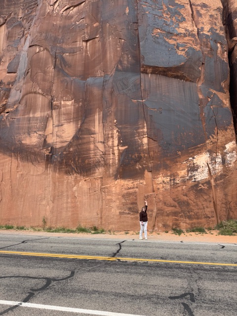
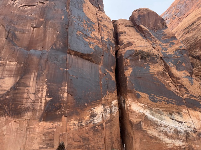
Headed another way on another road on the Colorado River (in good repair, two lanes, and paved), we saw a sign for petroglyphs and stopped. While on a busy road, it was once quiet, next to a river, and on tall rocks with some protection. Another holy feeling (despite the traffic) and the largest collection we have seen so far. The road builders you can see removed the rubble and sand in front of the cliff face. This makes the glyphs ten and twenty feet above the ground level now. But it is clear they were easy to reach before the road.
Some were hard to see because the contrast was lost on the stone due to some weathering. Still, it was hundreds of symbols, and the more you looked, the more you identified.
Our last set at the Poisoned Spider Trail Head was a disappointment because we had to use Zoom to see them. The path that led to them was about half a mile of climbing on rocks. We were not ready to do that. There, we saw from a distance dinosaur tracks and more petroglyphs. The tracks were from a bit of sandstone that fell, broke, and split, and exposed their secrets. Even from a distance, it was exciting to see. Real tracks! More petroglyphs! Info here for details on types of dinosaurs and so on.
With that done, I was tired, and we returned to the hotel, and I napped. Later, we would head to the Broken Oar for dinner. This is a rustic pine log building decorated with mostly broken oars from various white water adventures. Deborah had some salmon, and I had a pork chop, outlaw style, with some spice. This was our most expensive dinner in Moab, but it was excellent. Though I would not order dessert again, it was “outsourced,” said our waiter.
Somewhere on this day, I refueled the Hyandia (before the death-defying drive) at the Moab Exxon for $4.39; yikes! Mostly it is about $3.90 to 4.00 here. We return to Salt Lake City on Tuesday. I washed all the bug splashes on the windshield. We are happy with the SUV, though it can be sluggish (but I may be spoiled by my EV).
With dinner inside us, and short on steps, but happy with an excellent day, we returned to the hotel for one last night in Moab, though we believe we will return someday (we loved it). I wrote the blog now to allow us to return to SLC early.
Thanks for reading.
